


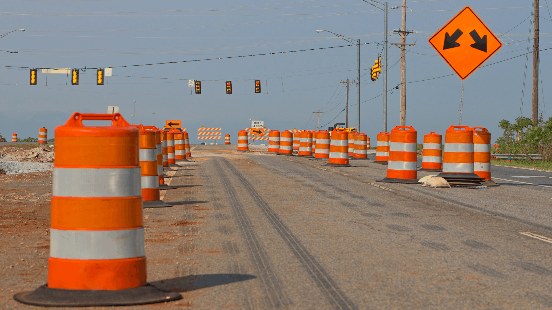
If you drive in Kissimmee, you already know which lights you creep through. The crash data is specific about which ones deserve it.
Among the most dangerous intersections in Kissimmee, one stands out regionally. N. Poinciana Boulevard at Irlo Bronson Memorial Highway ranks fifth among intersections in Orange, Osceola, and Seminole counties for crashes resulting in death or serious injury. Simpson Road at Irlo Bronson ranks tenth. A third crossing on the same highway makes the top 30.
One road has three of the region’s worst intersections. That concentration is key, and understanding exactly where it is located changes how you drive. Below is information about each location, the design problem behind it, and what to do differently when you’re driving in these areas. If a crash happens at one of these intersections or anywhere else in Kissimmee, our Kissimmee car accident lawyer can help you understand what evidence matters and what steps to take next.
How Did We Identify the Most Dangerous Roads in Kissimmee?
This information about dangerous roadways and their impact on Kissimmee traffic accidents comes from MetroPlan Orlando’s regional High Injury Network analysis, which evaluates crashes in Orange, Osceola, and Seminole counties using the same methodology. That analysis identifies where serious crashes concentrate by:
- Weighting every crash by severity and travel mode,
- Scoring the roadway in half-mile segments, and
- Counting all crashes within 250 feet of each intersection.
MetroPlan Orlando’s current High Injury Network is based on crash data from 2018 through 2022. MetroPlan’s more recent Crash Data Dashboard now includes data through 2024, but the intersection and corridor rankings discussed here are based on the adopted High Injury Network. The HIN identifies where fatal and serious-injury crashes concentrate; it does not determine who was responsible for an individual collision. One thing the ranking does not measure is fault: it shows where serious crashes happen, not who caused them.
Why Does U.S. 192 Dominate the Crash Rankings?
This one road has three of the most dangerous intersections in Kissimmee and one of the region’s 30 worst corridors. You know it under three names. West of the city limits, it is West Irlo Bronson Memorial Highway; downtown, it is West Vine Street; and east of town, it becomes East Irlo Bronson Memorial Highway, where it also carries U.S. 441. Same highway, same problem.
N. Poinciana Boulevard at Irlo Bronson Memorial Highway
Ranked fifth out of every intersection in Orange, Osceola, and Seminole counties, two heavy arterials cross at grade here, on a stretch of U.S. 192 built roughly 96 feet wide curb to curb, with six through lanes and a wide center median. The width is the problem: a crossing that big takes time to clear, so a driver entering late on a “stale yellow” can still be in the intersection when cross traffic starts moving, and anyone on foot is exposed for the length of a basketball court.
Take the two-second look left and right before you move on a fresh green light. At an intersection this wide, vehicles from the cross street may still be clearing the intersection when your light turns green.
Simpson Road at Irlo Bronson Memorial Highway
Ranked tenth in the region, Simpson Road runs south out of Buenaventura Lakes and meets U.S. 192 beside the Florida Turnpike interchange. Neighborhood traffic turns across four lanes of highway alongside drivers who were doing highway speed a minute earlier. Across the region, the roads in this ranking have an average posted speed limit of 43 mph but an average prevailing speed of 53 mph.
Leave a bigger gap than feels necessary when you turn here. The car you are judging may be moving faster than it looks.
Irlo Bronson Memorial Highway at Club Sevilla
Ranked 27th in the region, Club Sevilla sits at 4646 West Irlo Bronson, in the middle of the resort strip, where visitors walk between hotels, restaurants, and bus stops after dark, and drivers in rental cars make turns they did not plan. The Orlando-Kissimmee-Sanford metro ranks 25th of the 101 largest U.S. metro areas for pedestrian danger, with 419 pedestrian deaths between 2020 and 2024.
When possible, pedestrians should use a signalized crossing rather than attempting to cross this six-lane corridor mid-block.
U.S. 192 from Celebration Avenue to Four Winds Boulevard
This section is ranked 21st among the region’s corridors. The other three entries are single crossings, and this one is a continuous stretch, which matters: the risk on U.S. 192 is not confined to the intersections with traffic lights. Between signals, dozens of hotel, restaurant, and shopping center driveways open directly onto a six-lane highway with no gate, no signal, and no turn phase, and each one is a place where a car crosses your lane at low speed while you may arrive at highway speed.
Do not assume the gaps between traffic signals are the safe part of the road. Watch for vehicles entering and leaving driveways between intersections.
Here is the part most of these roundups miss. The state has already begun a $26 million safety and resurfacing project along part of this corridor. FDOT’s U.S. 192 project from Bamboo Lane to Main Street began in the summer of 2025 and is scheduled for completion in the fall of 2026. It includes adding pedestrian hybrid beacons at Interior Street and near Four Winds Boulevard, new signalized crossings, and buffered bike lanes.
The work also shows that significant safety improvements are underway along a corridor identified in the regional crash analysis.
What Other Kissimmee Roads Show Up in the Crash Data?
Nothing else among the most dangerous roads in Kissimmee comes close to U.S. 192, but several other roads are worth naming, and one of them is usually named wrong.
Poinciana Boulevard
This road ranks 30th among the region’s corridors, making it the only Kissimmee road on either list, aside from U.S. 192. It earns the spot twice over: the stretch closest to U.S. 192 is on the corridor list, and where it meets the highway is the fifth highest-ranked intersection in Central Florida. Poinciana Boulevard is the main route between the Poinciana community and everything north of it, so it funnels residential traffic straight onto a six-lane highway.
John Young Parkway and U.S. 17-92
John Young Parkway ranks first in the region for both intersections and corridors, but not here. The locations earning those ranks are John Young Parkway at Sand Lake Road and the stretch from Colonial Drive to Orange Center Boulevard; neither is in Kissimmee. The names are also less separate than they look, because south of U.S. 192, the same corridor carries U.S. 17-92 and continues south as Orange Blossom Trail.
Osceola Parkway
Osceola Parkway does not appear in the regional top 30 for either intersections or corridors. Its design explains part of that: the western portion is a grade-separated toll expressway, which eliminates at-grade crossings that would otherwise produce top-ranked intersections. In contrast, farther east of the toll plaza, it becomes a surface street with signals running through neighborhoods and shopping areas. It ends at the same Simpson Road that ranks tenth, where it meets U.S. 192.
What Makes the Dangerous Roads in Osceola County So Deadly?
None of this is random, and the concentration is extreme: 2% of Central Florida’s road miles account for 56% of its traffic deaths. Three traits explain much of it:
- They are highways, not streets. Sixty percent of the region’s high-injury network consists of state roads, built to move regional traffic through, then lined with the places people actually go.
- Traffic often moves faster than the posted limit. Across the regional high-injury network, the average posted speed is 43 mph, while the average prevailing speed is 53 mph, a difference of about 10 mph.
- People walk where walking was never the plan. Hotels, restaurants, and bus stops line six lanes, with long gaps between signals and pedestrian crossings.
There is a fourth pattern. About 53% of the network runs through disadvantaged communities, which make up about 25% of the region, so where you live can affect the roadway conditions you encounter.
Those are conditions, not excuses. A wide intersection does not run a red light, and a long crossing does not fail to yield. The dangerous roads in Osceola County explain where crashes happen, not who is responsible for one.
Hurt in a Kissimmee Car Accident on One of These Roads?
If you were hurt on one of these roads, the crash history is interesting, but it is not your case. Two rules of Florida law matter here:
- Two years, not four. Florida cut the filing deadline for negligence claims from four years to two for claims arising after March 24, 2023. For Kissimmee car accidents occurring after that date, the clock generally runs two years from the date of the crash.
- The road is not a defense. Florida reduces your recovery by your share of fault, and anyone found more than 50% at fault for their own harm recovers nothing. An intersection’s ranking does not shift that fault by a single percentage point.
Both rules cut against waiting. The shorter deadline gives you less room to see how your injuries develop, and the fault rule makes the evidence of what actually happened matter from the beginning.
A Kissimmee Injury Firm on U.S. 192
Maranatha Law’s Kissimmee office sits at 5245 West Irlo Bronson Memorial Highway, on the road this article is about, down the highway from the crossing that ranks 27th in the region. Tim Shanahan has represented injured people across Florida since 2015, and he handles every case himself.
If you were injured on one of these roads, a free consultation can help you understand whether you have a claim and how much time you have left in the two-year window. Contact our Kissimmee personal injury lawyer to discuss what happened and what evidence may need to be preserved while it is still available.
Legal References Used to Inform This Page
To ensure the accuracy and clarity of this page, we referenced official legal and other resources during the content development process:
- U.S. 192/U.S. 441 from C.R. 532 to Arthur J. Gallagher Boulevard, Project 448796-1, Florida Department of Transportation
- Regional High Injury Network Fact Sheet, MetroPlan Orlando
- US-192 Basis of Engineering Report, Central Florida Regional Transportation Authority (LYNX)
- Dangerous by Design 2026 Rankings, Smart Growth America
- U.S. 192 from Bamboo Lane to Main Street, Project 448783-1, Florida Department of Transportation
- Limitations Other Than for the Recovery of Real Property, Fla. Stat. § 95.11
- Comparative Fault, Fla. Stat. § 768.81