


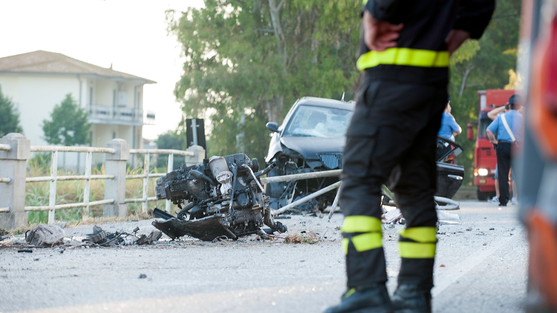
In Safety Harbor, a quiet local street can become a regional traffic corridor in just a few turns. Drivers move from neighborhood roads onto McMullen Booth Road, Enterprise Road, SR 590, and routes toward Clearwater, Countryside, and U.S. 19. That is why the most dangerous intersections in Safety Harbor make more sense as part of a larger road system than as isolated trouble spots. Recent crash reports point most strongly to McMullen Booth and its local access points. Main Street presents a different risk as traffic slows and pedestrian activity increases downtown, while SR 590 winds through the city grid in an unusually complicated way.
At Maranatha Law, our Safety Harbor car accident lawyer helps injured Floridians understand what happened after a crash and what evidence matters. The crash data here points to a broader pattern rather than a single bad intersection: problems tend to arise where different types of roads and traffic meet.
How Did We Identify the Most Dangerous Intersections in Safety Harbor?
Calling an intersection dangerous requires more than saying it feels busy. We looked for three kinds of data and roadway information:
- Serious-crash concentration. Forward Pinellas’s updated High Injury Network identifies the 4% of county roadways that account for 60% of crashes involving death or serious injury.
- Recurring local crashes. Pinellas County Sheriff’s Office reports show where crashes repeatedly occur inside Safety Harbor.
- Roadway context. City studies and FDOT projects help explain how roads function and where agencies have identified safety needs.
No source provides an official numbered ranking of Safety Harbor intersections. The Sheriff’s reports are useful for spotting recurrence, but they do not rank every crash by severity. Together, these sources give a more reliable picture of Safety Harbor traffic accidents without pretending to create an official ranking. The locations below stand out because recurring crashes, roadway analysis, or documented safety work support their inclusion.
Why Is McMullen Booth Road Safety Harbor’s Strongest Crash Corridor?
McMullen Booth Road runs north-south along much of Safety Harbor’s western side, while streets from within the city funnel traffic into it from the east. Enterprise Road, Mease Drive, Briar Creek Boulevard, Mil Ray Drive, and other local connections meet McMullen Booth along this edge, and recent crash reports repeatedly return to those access points.
That makes McMullen Booth the clearest example of the city’s larger pattern: local trips meeting a road that carries traffic through and beyond Safety Harbor.
Enterprise Road at McMullen Booth Road
Enterprise is one of the strongest examples. In the monthly Sheriff’s reports we reviewed from August 2025 through June 2026, 10 crashes appeared at McMullen Booth and Enterprise across seven months: two each in August, October, and December 2025, then one each in January, April, May, and June 2026.
Enterprise carries east-west traffic across Safety Harbor into McMullen Booth, which carries drivers north and south through the larger Pinellas network. For a local driver, this is where a neighborhood-scale trip can become a regional one.
While the reports do not establish why those crashes occurred, they do show that the intersection’s recurrence is more than reputation.
Mease Drive, Briar Creek, and Other McMullen Booth Access Points
The pattern continues elsewhere. Two of Safety Harbor’s five reported crashes in May 2025 occurred at McMullen Booth and Mease Drive. Briar Creek Boulevard appeared with one crash at McMullen Booth in August 2025 and two in January 2026. Mil Ray Drive and Marshall Street also appear in recent reports.
One intersection can have a bad month. Repeated crashes at several access points show that the pattern extends beyond a single intersection.
Why Does Main Street Have Two Different Traffic Environments?
Main Street shows why a dangerous road does not have to be a fast highway. Safety Harbor’s speed study found that traffic moves noticeably faster on the western approach than it does only a few blocks farther east.
The Western Approach to Main Street Moves Faster
Between 12th and 11th Avenues, where the posted limit was 25 mph, traffic averaged 26.9 mph. The 85th-percentile speed was 31.7 mph, and about 69% of measured vehicles exceeded 25 mph.
The important point is the transition: drivers approach downtown in a faster traffic environment than the one they are about to enter.
Downtown Main Street Slows Down but Gets More Complex
Between 9th and 8th Avenues, the average speed fell to 19.1 mph. Between 4th and 3rd Avenues, it was 16.9 mph.
But slower does not mean simpler. Downtown adds parked vehicles, businesses, bicycles, pedestrians, and frequent crossings. The city’s design study also identified ADA-related updates at almost all Main Street intersections. Within a short distance, drivers are moving more slowly but sharing a denser space with more people and more movement.
Why Is SR 590 More Complicated Than It Looks on a Map?
SR 590 does not pass through Safety Harbor as an obvious straight arterial. The city’s Downtown Master Plan describes the route as winding through the area and connecting with Main Street, adding another layer to a grid already interrupted by the CSX railroad and Mullet Creek.
A State Road Threaded Through a Local Street Grid
SR 590 shifts between the regional and local road systems as it moves through town. What begins as travel on a state route can quickly become navigation through a smaller-city street environment.
FDOT Is Making a Pedestrian Safety Change in 2026
FDOT is improving pedestrian access at SR 590/14th Avenue S and 7th Street S, adding a mid-block crosswalk and upgrading ramps, sidewalks, signs, and pavement markings.
The project does not prove SR 590 caused past crashes or establish a crash ranking. It shows something more specific: this state route must also function as a street people need to cross safely.
Where Does Safety Harbor Traffic Meet the Larger Pinellas County Road System?
Safety Harbor’s city limits are not where a resident’s drive ends. SR 580 and Enterprise Road show how quickly local trips become part of the larger Pinellas County network.
SR 580 at Philippe Parkway
Sheriff’s reports recorded two crashes at SR 580 and Philippe Parkway in July 2025, followed by another crash in each of February, April, May, and June 2026.
The intersection connects Philippe Parkway’s local north-south traffic with an east-west state road. Like McMullen Booth and Enterprise, it is a place where a local trip meets a larger transportation corridor. Its recurrence is what earns it a place here.
Enterprise Road Toward Countryside, Clearwater, and U.S. 19
Follow Enterprise west from Safety Harbor, and the trip moves through McMullen Booth toward Clearwater, Countryside, and U.S. 19.
A Forward Pinellas analysis of 2015–2019 data found 401 crashes along U.S. 19 between Sunset Point Road and Enterprise Road, including 63 at Enterprise, the second-highest intersection total on that segment. U.S. 19/Enterprise is outside Safety Harbor, and those figures are historical rather than a current ranking of dangerous intersections in Pinellas County. Their value is context: within a few miles, a Safety Harbor trip reaches a much heavier regional traffic environment.
What Makes the Most Dangerous Roads in Safety Harbor Different?
Put the locations together, and one pattern stands out: they are not all risky for the same reason. What they share is transition.
- Road functions meet. Local streets feed regional corridors such as McMullen Booth and SR 580.
- The environment changes quickly. Main Street shifts from a faster approach to a slower, pedestrian-oriented downtown.
- The network funnels movement. SR 590, the rail corridor, and routes toward U.S. 19 channel traffic through particular points.
Taken together, the most dangerous roads in Safety Harbor are defined less by one type of roadway than by these points of transition. Bayshore is part of Safety Harbor’s larger road network, but recent reports do not show the recurring crash concentration seen on McMullen Booth.
Hurt in a Safety Harbor Car Accident? Roadway Data Does Not Decide Your Case
A road’s crash history can show where collisions recur. It cannot tell you who caused your accident. A Safety Harbor car accident turns on evidence from that collision, including driver conduct, video, witnesses, vehicle damage, and roadway evidence. That is why each accident must be evaluated on its own evidence, not the road’s crash history.
Florida reduces damages according to an injured person’s share of fault, and someone found more than 50% responsible for their own harm generally cannot recover damages in a negligence action subject to the rule. Florida also generally provides two years to file a negligence action.
The road’s history provides context. Your evidence determines your case.
Talk to Maranatha Law After a Safety Harbor Traffic Accident
For people injured in Safety Harbor traffic accidents, the statistics cannot tell you what happened in an individual case. Tim Shanahan can investigate the collision, preserve evidence, and determine who may be responsible. He listens to his clients, takes their concerns seriously, and puts in the work their cases require, regardless of their background or circumstances.
Contact a Safety Harbor personal injury lawyer for a free consultation to discuss what happened, what evidence may matter, and what comes next.
Legal References Used to Inform This Page
To ensure the accuracy and clarity of this page, we referenced official legal and other resources during the content development process:
- Safe Streets Pinellas Action Plan and High Injury Network, Forward Pinellas
- Safety Harbor Monthly Law Enforcement Reports, Pinellas County Sheriff’s Office
- Roadway Functional Classification Map, City of Safety Harbor
- Main Street Design Study 2023, City of Safety Harbor
- Downtown Master Plan, City of Safety Harbor
- SR 590 Pedestrian Mid-Block Crosswalk at 7th Street S, Florida Department of Transportation
- U.S. 19 Corridor Crash Analysis, Forward Pinellas
- Comparative Fault, Fla. Stat. § 768.81
- Limitations of Actions, Fla. Stat. § 95.11